Dronningruta (Queen’s Route)
How would you rate Dronningruta (Queen’s Route)?
Tap a star to share your experience and help other hikers.
Dronningruta (Queen’s Route): Stø to Nyksund Coastal-Mountain Loop
HikeList Score
Dronningruta (Queen’s Route) scored 81/100 on HikeList's trail-quality metrics.
See score breakdownHide breakdown
- Ideal length 55
- Balanced challenge 80
- Scenery & wildness 88
- Varied terrain 100
- Accommodation 84
- Food & support 81
- Path quality 98
- Season flexibility 76
Computed from length, challenge, scenery & wildness, terrain variety, accommodation, food & support, path quality and season flexibility.
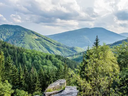
Dronningruta, or the Queen’s Route, is a roughly 15 km circular day hike between Stø and Nyksund on Langøya in the Vesterålen archipelago, Northern Norway. It is a moderate-to-demanding route, graded RED locally, with about 900 m of cumulative ascent but no serious exposure. Expect a high mountain traverse, a low coastal return, fixed ropes on a few steep sections, wet ground and wide Atlantic views. It suits fit walkers wanting a full-day coastal mountain hike in Norway and pairs well with classic inland summit days such as the Gaustatoppen Summit Trail, typically taking 5–8 hours.
Route Overview
Most hikers start and finish in Stø, walking the high route towards Nyksund and returning by the lower coastal path, though the loop can be done either way. The route links Stø, Skipssanden beach, a lake and moraine basin, a mountain pass, Sløykmarkheia/Nyksundheia moorland and Finngamheia, the standard route high point at 448 m, before dropping to Nyksund. From there the coastal section returns via beaches, lagoons, shore grass and boardwalked wet stretches. It can also be walked one-way as a Stø–Nyksund point-to-point if you arrange a boat/RIB transfer or a second car. For another northern coastal objective, compare the Horseid Beach Trail.
History of the Queen’s Route
Dronningruta follows an old walking and transport corridor between the fishing villages of Stø and Nyksund. Until 1939, children from Nyksund used this route to reach the boarding school in Stø. The Norwegian Trekking Association marked the trail with red T waymarks in 1992. It was named the Queen’s Route after Queen Sonja of Norway hiked it in 1994, and locals in Øksnes adopted the name in her honour. Boardwalks were added from 2007 to protect wet coastal ground from erosion.
Notable highlights
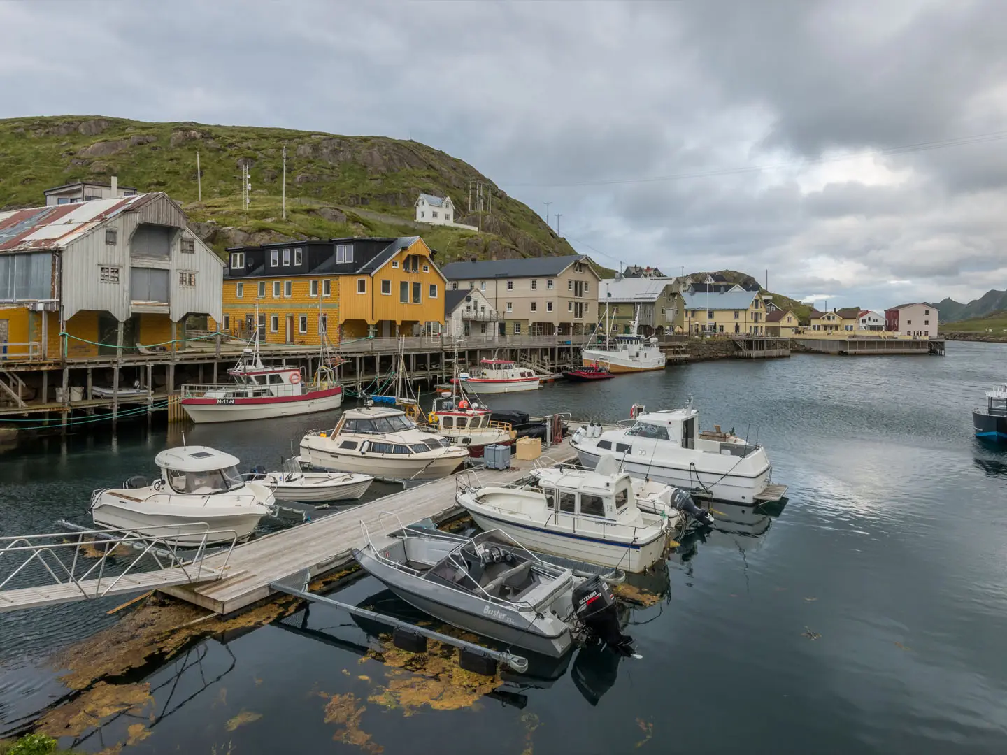
Nyksund revival: This once near-abandoned fishing village, left almost empty by the 1970s, has been revived as a small artists’ and tourism hamlet with colourful quayside buildings.
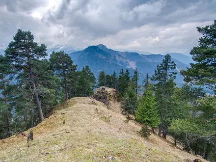
Finngamheia summit, 448 m: The high point of the standard waymarked route gives wide views over the Atlantic, neighbouring islands and, in clear weather, Anda lighthouse off Anda island.
Skipssanden and coastal archaeology: The northern coast has white-sand and pebble beaches, burial mounds, settlement mounds and boathouse remains. Charcoal from one settlement mound near Skipssanden has been radiocarbon-dated to the mid-1300s.
Wildlife and lagoons: Watch for sea eagles and seabirds around the cliffs, and whooper swans using the coastal lagoons and the freshwater lake in the valley basin.
A real village path: The route is not just a scenic loop; it follows a centuries-old link between Stø and Nyksund, formerly used by local schoolchildren.
Challenges to expect
The difficulty comes from steep ascents and descents, scree, bog and wet coastal ground rather than sustained exposure. Fixed ropes help on a few steep sections, but you still need confident footing. Weather on the Vesterålen coast is changeable and windy, even in summer. There are no drinking-water sources on the high route, so carry enough from Stø or Nyksund. The route is well marked with red DNT T signs. As a demanding full-day outing it sits alongside Norway's better-known ridge days like the Besseggen Ridge, though Dronningruta trades sustained exposure for a wilder coastline.
HikeList Score
Dronningruta (Queen’s Route) scored 81/100 on HikeList's trail-quality metrics.
See score breakdownHide breakdown
- Ideal length 55
- Balanced challenge 80
- Scenery & wildness 88
- Varied terrain 100
- Accommodation 84
- Food & support 81
- Path quality 98
- Season flexibility 76
Computed from length, challenge, scenery & wildness, terrain variety, accommodation, food & support, path quality and season flexibility.
 Norway
Show more data Show less
- Mountainous
- Coastal
- Moorland
- Boggy
- Packed Soil
- Rock
- Stone
- Grass
- Boardwalk
- Cabins
- Guesthouses
- Campsites
- Wild Camping Spots
- Family Friendly
- Pet Friendly
- Water Sources
- Campsites
- Shelters
Photos from hikers
Taken on the trail by people who've reviewed Dronningruta (Queen’s Route).
Reviews
How would you rate Dronningruta (Queen’s Route)?
Tap a star to start your review — you could be the first.