Brabantse Kempen Trail
How would you rate Brabantse Kempen Trail?
Tap a star to share your experience and help other hikers.
Brabantse Kempen Trail: What Hikers Need to Know
HikeList Score
Brabantse Kempen Trail scored 82/100 on HikeList's trail-quality metrics.
See score breakdownHide breakdown
- Ideal length 62
- Balanced challenge 100
- Scenery & wildness 66
- Varied terrain 94
- Accommodation 92
- Food & support 88
- Path quality 92
- Season flexibility 89
Computed from length, challenge, scenery & wildness, terrain variety, accommodation, food & support, path quality and season flexibility.
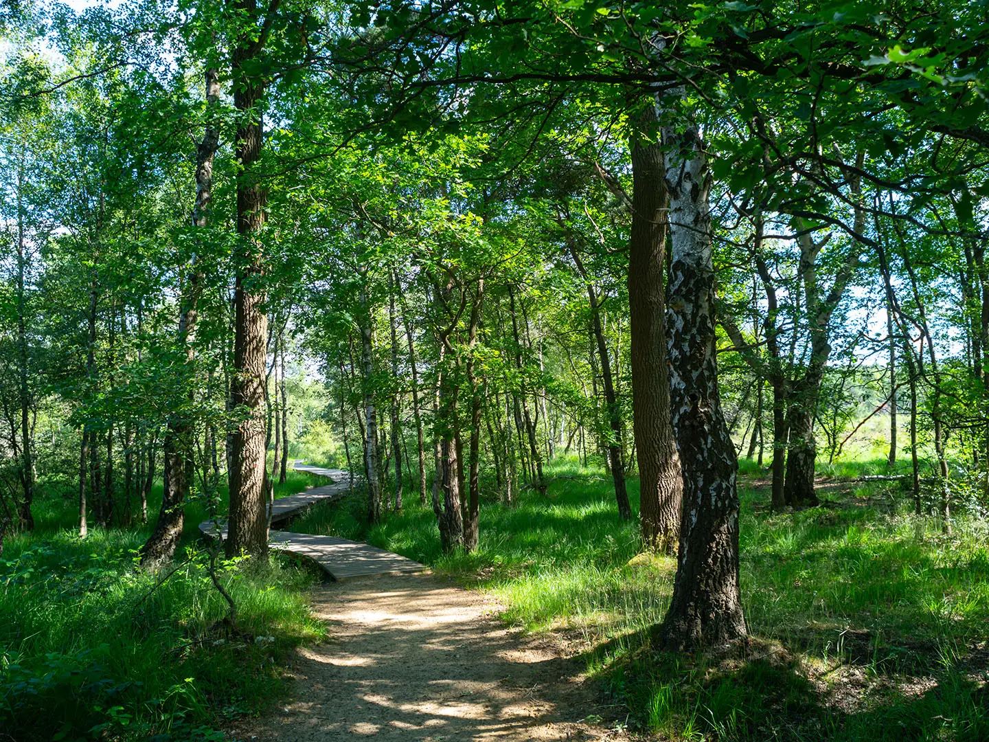
The “Brabantse Kempen Trail” is not a verified 130 km multi-day route. De Brabantse Kempen is a sandy heath, fen and forest region in Noord-Brabant, in the Netherlands, best explored via the local knooppunten walking network. The only verified walk using this name is Brabantse Kempen - Cartierheide, a short circular day walk of roughly 6.5 to 10.8 km, taking about 1.5 to 3 hours. Expect easy to moderate lowland walking on forest paths, sandy heath tracks and boardwalks.
Route Overview
There is no verified official start, finish or stage plan for a long-distance “Brabantse Kempen Trail”. For the named walk that does exist, start near Eersel or Bladel, for example at De Keizer at TerSpegelt, the back entrance of Landal Het Vennenbos, or parking De Pals. The route is a short loop over the Cartierheide, using numbered knooppunt signage through woodland, heath, fens and wet sections with boardwalks. For genuine longer Dutch hiking ideas, compare the nearby Brabantse Wal Trail, the heath and forest walking of De Meinweg National Park Trail, or wetland routes such as the Biesbosch National Park Trail.
Landscape and History of De Kempen
The Kempen’s poor sandy soils were historically used as communal heath for grazing, sod-cutting and sheep. Much of the area was later affected by 19th- and 20th-century afforestation and reclamation, leaving surviving heaths such as the Cartierheide as conserved nature reserves. The wider Noord-Brabant landscape is also marketed as the “Land of Van Gogh”, reflecting Vincent van Gogh’s links with the province where he grew up nearby.
Notable highlights
- Cartierheide: A large heath within the De Kempen nature reserve, ringed by woodland. It is the main focus of the verified Brabantse Kempen - Cartierheide loop.
- Laarven and Pannegoor fens: Moorland pools on and around the heath. Pannegoor is noted as bird habitat, while Laarven lies in the forest with a lakeside picnic spot.
- Boardwalks: Wooden walkways protect the wettest and most fragile heath and fen sections while keeping walkers out of boggy ground.
- Dalems Stroompje: A small stream crossing the Cartierheide, typical of the Kempen’s beekdalen, or stream-valley, landscape.
- Heathland wildlife: Roe deer and wild boar are present, especially around twilight. The area also supports reptiles, moor frog and specialist heath plants such as round-leaved sundew and marsh gentian.
Challenges to expect
The main challenge is navigation: this is a knooppunten walking area, not a single end-to-end waymarked trail. Carry the correct junction numbers or a local route map. The terrain is low and gentle, but sandy tracks can be tiring, and wet heath can be boggy outside the drier seasons. Stay on paths in protected areas and keep dogs leashed.
HikeList Score
Brabantse Kempen Trail scored 82/100 on HikeList's trail-quality metrics.
See score breakdownHide breakdown
- Ideal length 62
- Balanced challenge 100
- Scenery & wildness 66
- Varied terrain 94
- Accommodation 92
- Food & support 88
- Path quality 92
- Season flexibility 89
Computed from length, challenge, scenery & wildness, terrain variety, accommodation, food & support, path quality and season flexibility.
 Netherlands
Show more data Show less
- Heathland
- Fens
- Forest
- Stream Valleys
- Lowland
- Forest Paths
- Sand Tracks
- Boardwalks
- Holiday Parks
- Campsites
- B&Bs
- Hotels
- Family Friendly
- Pet Friendly
- Restrooms
- Water Sources
- Campsites
- Picnic Areas
Photos from hikers
Taken on the trail by people who've reviewed Brabantse Kempen Trail.
Reviews
How would you rate Brabantse Kempen Trail?
Tap a star to start your review — you could be the first.