Wielka Sowa Loop
How would you rate Wielka Sowa Loop?
Tap a star to share your experience and help other hikers.
Wielka Sowa Loop: Owl Mountains Day Hike
HikeList Score
Wielka Sowa Loop scored 82/100 on HikeList's trail-quality metrics.
See score breakdownHide breakdown
- Ideal length 55
- Balanced challenge 100
- Scenery & wildness 98
- Varied terrain 71
- Accommodation 66
- Food & support 82
- Path quality 98
- Season flexibility 100
Computed from length, challenge, scenery & wildness, terrain variety, accommodation, food & support, path quality and season flexibility.
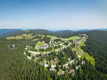
The Wielka Sowa Loop is a 10.5 km day walk in the Owl Mountains (Góry Sowie), Central Sudetes, Lower Silesia, south-western Poland. Starting at Przełęcz Sokola above Rzeczka and Sokolec, it climbs to Wielka Sowa (1,015 m), the range’s highest summit, then returns by a different forest route. With about 350 m of ascent on mostly wide, comfortable paths, it is a moderate hike — gentle underfoot but a full mountain day — suited to families, peak-baggers and walkers wanting a half-day out from the Wrocław area.
Route Overview
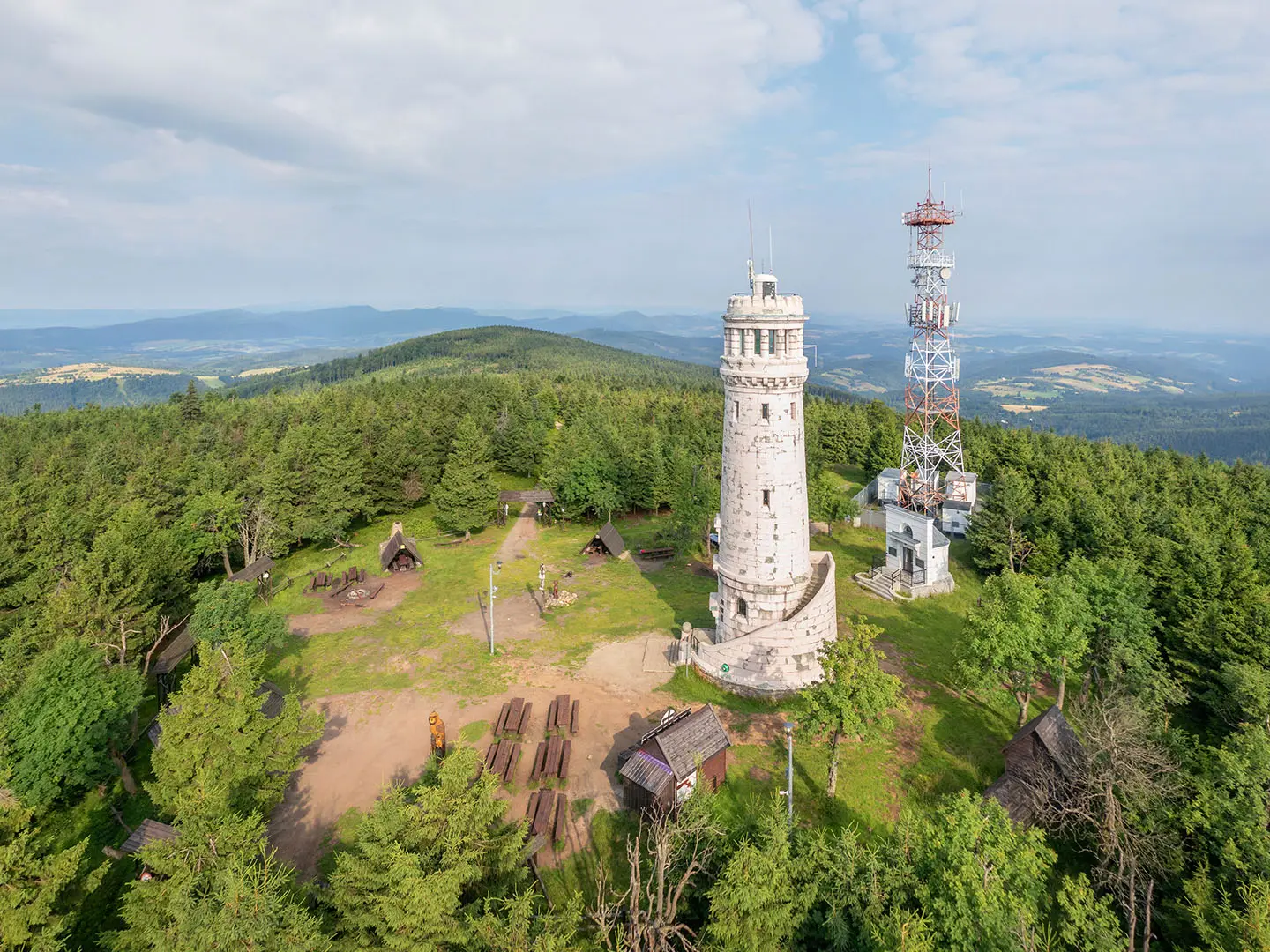
The classic loop starts and ends at Przełęcz Sokola, where there are paid car parks and at least one free car park; a higher car park sits below Schronisko Orzeł. Follow the red Main Sudetic Trail past Schronisko Górski Orzeł and Schronisko Sowa to the Wielka Sowa summit and its stone observation tower. From the top, continue to Rozdroże pod Wielką Sową and Kozie Siodło, take the green trail towards Lisie Skały, then descend on the blue trail through Sokolec and return by road to the pass. For a longer Sudetes objective compare the Karkonosze Ridge Trail, or for a very different forest trip see the Białowieża Forest Trails.
Owl Mountains History and Project Riese
The Owl Mountains, historically known in German as the Eulengebirge, are an old forested range of the Central Sudetes. Wielka Sowa had a wooden lookout from the late 19th century; the present stone Bismarck observation tower was built in 1906 and later restored, reopening in 2008. During WWII, Nazi Germany began Project Riese in the massif: an unfinished underground complex of tunnels and chambers built from 1943 using forced and concentration-camp labour. After 1945 the region became part of Poland.
Notable highlights
- Wielka Sowa summit (1,015 m): The highest point of the Owl Mountains and a listed Crown of Polish Mountains peak, making the loop popular with Polish peak-baggers.
- Stone observation tower: The summit tower was built in 1906 and restored before reopening in 2008. From the top, views can reach the Karkonosze/Krkonoše, Śnieżka, Mount Ślęża, the Kłodzko Valley, Śnieżnik and, in clear weather, towards Wrocław.
- Main Sudetic Trail and E3: The ascent follows the red Główny Szlak Sudecki, Poland’s classic long-distance Sudetes route, and also touches the European E3 path.
- Schronisko Górski Orzeł and Schronisko Sowa: These mountain huts give the route shelter and potential food or drink stops, though Schronisko Sowa’s opening has been intermittent.
- Project Riese sites nearby: The Walim/Rzeczka adits, Osówka and Sokolec/Gontowa sites are in the same massif, adding a significant WWII history element to a hiking trip.
Challenges to expect
The loop is straightforward, but expect about 350 m of climbing and a few steeper pitches near the summit. Most of the route uses wide forest roads and clear marked paths, yet colour-trail junctions around Rozdroże pod Wielką Sową, Kozie Siodło and Lisie Skały still need attention. In winter, sections can be icy or snow-covered, and the area is also used for cross-country skiing.
HikeList Score
Wielka Sowa Loop scored 82/100 on HikeList's trail-quality metrics.
See score breakdownHide breakdown
- Ideal length 55
- Balanced challenge 100
- Scenery & wildness 98
- Varied terrain 71
- Accommodation 66
- Food & support 82
- Path quality 98
- Season flexibility 100
Computed from length, challenge, scenery & wildness, terrain variety, accommodation, food & support, path quality and season flexibility.
 Poland
Show more data Show less
- Mountainous
- Forest
- Dirt
- Gravel
- Forest Tracks
- Huts
- Hotels
- Family Friendly
- Pet Friendly
- Restrooms
- Campsites
- Shelters
- Picnic Areas
Photos from hikers
Taken on the trail by people who've reviewed Wielka Sowa Loop.
From Przełęcz Sokola, climb on the red Main Sudetic Trail past Schronisko Górski Orzeł and Schronisko Sowa to Wielka Sowa and the observation tower. Continue to Rozdroże pod Wielką Sową and Kozie Siodło, take the green trail towards Lisie Skały, then descend on the blue trail through Sokolec and return by road to the start.
Reviews
How would you rate Wielka Sowa Loop?
Tap a star to start your review — you could be the first.