Wielka Rawka Loop
How would you rate Wielka Rawka Loop?
Tap a star to share your experience and help other hikers.
Wielka Rawka Loop: Bieszczady Ridge Day Hike
HikeList Score
Wielka Rawka Loop scored 85/100 on HikeList's trail-quality metrics.
See score breakdownHide breakdown
- Ideal length 55
- Balanced challenge 100
- Scenery & wildness 98
- Varied terrain 100
- Accommodation 75
- Food & support 75
- Path quality 98
- Season flexibility 89
Computed from length, challenge, scenery & wildness, terrain variety, accommodation, food & support, path quality and season flexibility.
The Wielka Rawka Loop is a moderate day hike in Bieszczady National Park, south-east Poland: about 10.5 km, 4–6 hours and roughly 550 m of ascent. It climbs from Przełęcz Wyżniańska through beech and fir forest to Mała Rawka and Wielka Rawka, the highest peak of the western Bieszczady at 1307 m. It suits hikers who want a short but steep mountain route with open połoniny ridge views. For wider trip planning, see hiking in Poland.
Route Overview
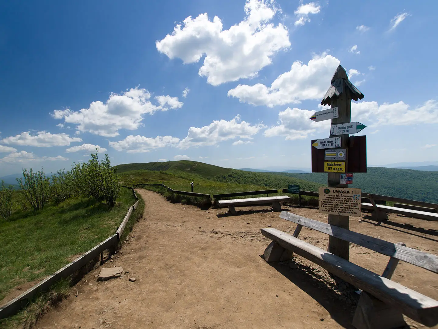
The usual start is the car park at Przełęcz Wyżniańska on the Ustrzyki Górne–Wetlina road, where a parking fee of around 15 PLN applies. Most hikers follow the green trail past Bacówka pod Małą Rawką, climb steeply through forest to Mała Rawka, then continue along the yellow/green ridge link to Wielka Rawka. The popular short loop returns using the blue border-ridge trail toward Ustrzyki Górne; longer circular variants from Ustrzyki Górne or Wetlina also exist. Krzemieniec / Kremenaros, the Poland–Slovakia–Ukraine tri-border pillar, is a detour from Wielka Rawka, not the summit. Other Polish route ideas include the Five Lakes Valley Trail, Giewont Summit Trail and Karkonosze Ridge Trail.
Borderland history of the Bieszczady
The Bieszczady have shifted between the Polish–Lithuanian Commonwealth and the Austro-Hungarian Empire, and the Rawki ridge follows a long-standing state frontier. After World War II, forced resettlements, including Operation Vistula (Akcja Wisła) in 1947, emptied many Boyko and Lemko villages. Forest reclaimed those depopulated valleys, which is one reason this part of the Carpathians still feels unusually wild despite the Rawki being a popular day hike.
Notable highlights
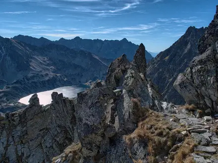
Wielka Rawka summit (1307 m): The highest peak of the western Bieszczady, with an open grassy and sandstone outcrop ridge. In clear weather it gives wide views across the Polish Bieszczady, Slovak Poloniny National Park and the Ukrainian Eastern Bieszczady.
Mała Rawka (1272 m): The first summit reached from Przełęcz Wyżniańska. It is a strong viewpoint before the short ridge continuation to Wielka Rawka.
Krzemieniec / Kremenaros tri-border: A blue-trail detour from Wielka Rawka to the boundary pillar where Poland, Slovakia and Ukraine meet. It is about 40 minutes from Wielka Rawka and is not on the main summit.
Połoniny meadows: These open subalpine pastures are characteristic of the Bieszczady. They create the route’s broad views and are flower-rich in summer, turning golden in autumn.
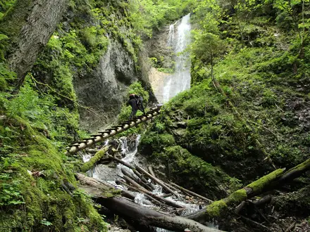
Beech and fir forest: The steep middle climb passes through mature Carpathian woodland, with wooden steps in places. The 1254 m saddle between Mała Rawka and Wielka Rawka holds the highest forest in the Polish Bieszczady.
Bacówka pod Małą Rawką: A small mountain shelter near the start of the climb. It is the only refreshment and rest stop on the route.
Challenges to expect
Expect one sustained, steep forest climb, with wooden steps in places, before the terrain opens onto the ridge. The upper section is exposed, so wind, rain or winter conditions can make a short route feel harder. Navigation is straightforward on waymarked trails, but stay on marked paths inside Bieszczady National Park. There is no resupply beyond Bacówka pod Małą Rawką.
HikeList Score
Wielka Rawka Loop scored 85/100 on HikeList's trail-quality metrics.
See score breakdownHide breakdown
- Ideal length 55
- Balanced challenge 100
- Scenery & wildness 98
- Varied terrain 100
- Accommodation 75
- Food & support 75
- Path quality 98
- Season flexibility 89
Computed from length, challenge, scenery & wildness, terrain variety, accommodation, food & support, path quality and season flexibility.
 Poland
Show more data Show less
- Mountainous
- Forest
- Meadow
- Ridge
- Gravel
- Shale
- Dirt
- Sandstone
- Huts
- Guesthouses
- Campsites
- Family Friendly
- Pet Friendly
- Restrooms
- Campsites
- Shelters
Photos from hikers
Taken on the trail by people who've reviewed Wielka Rawka Loop.
Reviews
How would you rate Wielka Rawka Loop?
Tap a star to start your review — you could be the first.