The Ochil Hills Way
How would you rate The Ochil Hills Way?
Tap a star to share your experience and help other hikers.
The Ochil Hills Way: An Honest Guide to the Ochils
HikeList Score
The Ochil Hills Way scored 73/100 on HikeList's trail-quality metrics.
See score breakdownHide breakdown
- Ideal length 55
- Balanced challenge 52
- Scenery & wildness 98
- Varied terrain 59
- Accommodation 75
- Food & support 74
- Path quality 98
- Season flexibility 89
Computed from length, challenge, scenery & wildness, terrain variety, accommodation, food & support, path quality and season flexibility.
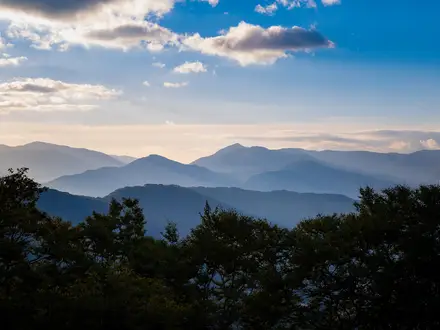
The “Ochil Hills Way” is not a verified, waymarked long-distance trail. The Ochil Hills are a compact upland range in central Scotland, north of the Forth valley, best walked as hard day routes: steep horseshoes, ridge circuits and glen climbs. Known outings include the ~11 km Ben Cleuch horseshoe and the ~24 km LDWA Ochil Hills Circuit. Expect strenuous grassy hillwalking, boggy ground, exposed ridges and navigation in mist. If you want a confirmed point-to-point route, compare the Annandale Way.
Route Overview
There is no verifiable Stirling-to-Perth “Ochil Hills Way” with a fixed start, finish, distance or itinerary. Most walkers base themselves in the Hillfoots towns — Tillicoultry, Alva, Menstrie or Dollar — or in Stirling, then choose circular routes into the hills. The classic high-level day is the Ben Cleuch horseshoe from Alva: climbing via Silver Glen and Ben Ever to Ben Cleuch, then returning over The Law and down Mill Glen into Tillicoultry. A longer option is the Heart of Scotland LDWA Ochil Hills Circuit from Ochil Hills Woodland Park near Alva. For coastal Scottish trails with clearer linear logistics, see the Arran Coastal Way or Ayrshire Coastal Path.
Ochil Hills History
The Ochils mix upland walking with visible layers of Scottish history. Iron Age and Pictish hill forts, including Castle Craig, occupy some summits. On the western flank, Sheriffmuir is linked to the 1715 Jacobite rising. Lower down, the Hillfoots towns grew as 19th-century woollen-mill centres, powered by the fast burns dropping from the southern escarpment. Alva Glen and Silver Glen also show the remains of silver, copper and other mineral workings.
Notable highlights
- Ben Cleuch (721 m): The highest point of the Ochils and a grassy Graham with an Ordnance Survey trig pillar. It is the main objective on the classic Alva horseshoe.
- Dumyat (418 m): The westernmost Ochil top above Stirling and Blairlogie. Its summit has a trig point, beacon, cairn and memorial to the Argyll and Sutherland Highlanders.
- Mill Glen, Tillicoultry: A steep gorge of waterfalls and bridges used on the descent from The Law. It is atmospheric, but can feel committing in poor weather.
- Alva Glen / Silver Glen: A wooded glen with waterfalls and remains of 18th-century silver and copper mining. It is the usual approach for the Ben Cleuch horseshoe.
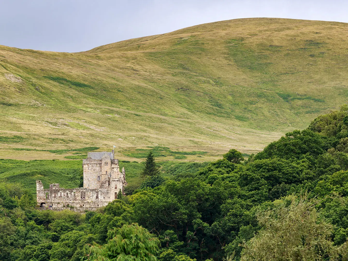
- Castle Campbell and Dollar Glen: A well-preserved 15th-century tower house above a wooded gorge. Dollar Glen gives a lower-level option when the high tops are in cloud.
- The Hillfoots towns: Tillicoultry, Alva and Menstrie sit below the steep southern escarpment. Their mill history is tied to the burns that drain the hills.
Challenges to expect
Treat the main Ochil routes as hard upland hillwalking, not casual waymarked paths. Ascents are steep, grassy and often boggy, with broad exposed ridges where low cloud can make navigation difficult. The Ben Cleuch horseshoe has around 700 m of ascent, and the Mill Glen descent includes mild scrambling. Weather changes quickly, with wind, rain and little shelter on the tops.
HikeList Score
The Ochil Hills Way scored 73/100 on HikeList's trail-quality metrics.
See score breakdownHide breakdown
- Ideal length 55
- Balanced challenge 52
- Scenery & wildness 98
- Varied terrain 59
- Accommodation 75
- Food & support 74
- Path quality 98
- Season flexibility 89
Computed from length, challenge, scenery & wildness, terrain variety, accommodation, food & support, path quality and season flexibility.
Show more data Show less
- Mountainous
- Dirt
- Grass
- Rocky
- Hotels
- Campsites
- Wild Camping Spots
- Family Friendly
- Pet Friendly
- Water Sources
- Campsites
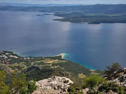
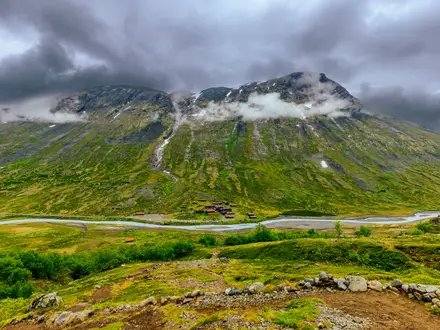
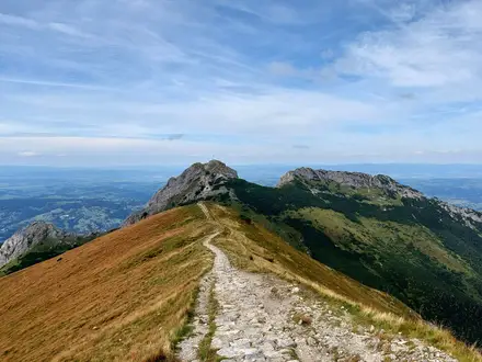
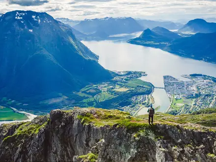
Photos from hikers
Taken on the trail by people who've reviewed The Ochil Hills Way.
Reviews
How would you rate The Ochil Hills Way?
Tap a star to start your review — you could be the first.