Retezat Ridge Trail
How would you rate Retezat Ridge Trail?
Tap a star to share your experience and help other hikers.
Retezat Ridge Trail: A 2-Day High Ridge Traverse
HikeList Score
Retezat Ridge Trail scored 74/100 on HikeList's trail-quality metrics.
See score breakdownHide breakdown
- Ideal length 63
- Balanced challenge 52
- Scenery & wildness 98
- Varied terrain 83
- Accommodation 67
- Food & support 65
- Path quality 98
- Season flexibility 89
Computed from length, challenge, scenery & wildness, terrain variety, accommodation, food & support, path quality and season flexibility.
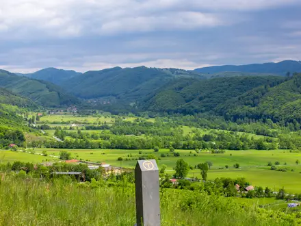
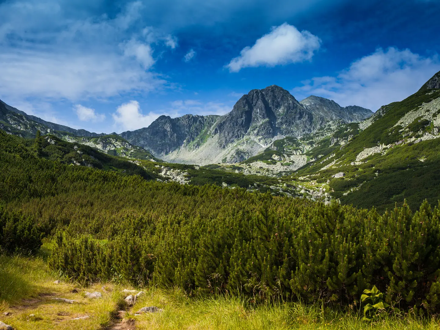
The Retezat Ridge Trail is a strenuous 23 km, 2-day point-to-point traverse in Retezat National Park, in the Southern Carpathians of Romania. It follows the well-waymarked high ridgeline around Bucura Lake, linking Peleaga, the range high point at 2,509 m, with Papusa at 2,508 m. Expect boulder fields, exposed rocky ridge, sustained ascent and descent, and fast-changing weather above 2,000 m. It suits experienced mountain hikers who are comfortable with navigation, rough ground and basic high-camp logistics.
Route Overview
The usual north-to-south or westbound traverse starts from Carnic / Pietrele Hut, with Cabana Pietrele or Cabana Gentiana as northern approach bases. From there the route climbs through forest and alpine terrain towards Bucura Lake, the main high camp and route hub, before taking the red-stripe ridge over Peleaga and Papusa. Exits commonly run towards Poiana Pelegii in the south or Gura Zlata in the west, making this a point-to-point hike that needs pre-planned transport at both ends. For a shorter lake-focused option, see the Bucura Lake Circuit; for broader Romanian ridge walking, compare the Carpathian Ridge Trail and Bucegi Plateau Circuit.
Retezat National Park: Romania’s First National Park
Retezat National Park was declared in 1935, making it Romania’s first national park. It later became a UNESCO Man and the Biosphere reserve in 1979 and received the Council of Europe’s European Diploma of Protected Areas in 2008. The park protects a high mountain landscape of glacial cirques, old-growth forest, alpine ridges and exceptional biodiversity, including more than 60 peaks above 2,300 m and around 80 glacial lakes.
Notable highlights
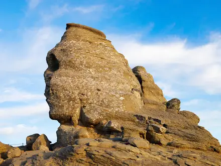
Peleaga summit (2,509 m): The highest point of the Retezat Mountains and the roof of this traverse, with wide views across cirques, ridges and glacial lakes.
Papusa Peak (2,508 m): Usually linked with Peleaga along the red-stripe ridge, Papusa adds airy high-level walking only a metre below the range high point.
Bucura Lake (~2,030 m): Romania’s largest glacial lake, about 8.9 ha, and the main high camp and route junction for Retezat ridge hikes.
Retezat glacial lakes: Zanoaga, Gales, Lia, Ana and Pietrele are part of a wider system of around 80 glacial lakes left by Ice-Age glaciation.
Portile Inchise: The “Closed Gates” form a striking rocky ridge section above Gales Lake on the eastern arm of the massif.
Wildlife and old-growth forest: The park shelters chamois, brown bears, wolves, lynx and rich plant life, with strictly protected forest in the Gemenele reserve.
Challenges to expect
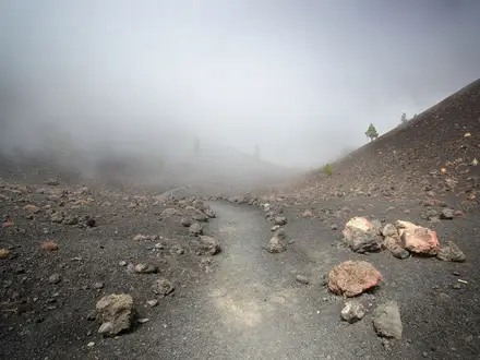
This is a hard alpine route: long ascents, steep descents, boulder fields, scree and exposed ridge sections are all part of the walk. Short cabled scrambles can appear on steeper ground. Weather changes quickly above 2,000 m, with lingering early-season snow and summer afternoon thunderstorms. Navigation is generally helped by Romanian colour-band markings, especially the red stripe, but fog can make route-finding difficult. Bucura camping has no facilities, so carry what you need.
HikeList Score
Retezat Ridge Trail scored 74/100 on HikeList's trail-quality metrics.
See score breakdownHide breakdown
- Ideal length 63
- Balanced challenge 52
- Scenery & wildness 98
- Varied terrain 83
- Accommodation 67
- Food & support 65
- Path quality 98
- Season flexibility 89
Computed from length, challenge, scenery & wildness, terrain variety, accommodation, food & support, path quality and season flexibility.
 Romania
Show more data Show less
- Mountainous
- Alpine
- Forest
- Rocky
- Dirt
- Scree
- Huts
- Campsites
- Wild Camping Spots
- Pet Friendly
- Water Sources
- Campsites
- Shelters
Photos from hikers
Taken on the trail by people who've reviewed Retezat Ridge Trail.
Reviews
How would you rate Retezat Ridge Trail?
Tap a star to start your review — you could be the first.