Pietrosul Rodnei Summit Trail
How would you rate Pietrosul Rodnei Summit Trail?
Tap a star to share your experience and help other hikers.
Pietrosul Rodnei Summit Trail: Borșa to the Eastern Carpathians’ Highest Peak
HikeList Score
Pietrosul Rodnei Summit Trail scored 76/100 on HikeList's trail-quality metrics.
See score breakdownHide breakdown
- Ideal length 55
- Balanced challenge 74
- Scenery & wildness 78
- Varied terrain 94
- Accommodation 75
- Food & support 81
- Path quality 98
- Season flexibility 76
Computed from length, challenge, scenery & wildness, terrain variety, accommodation, food & support, path quality and season flexibility.
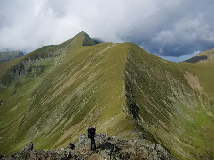
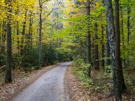
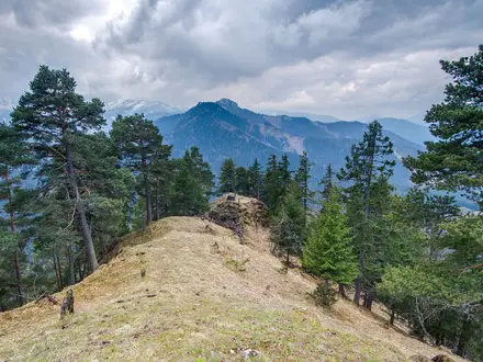
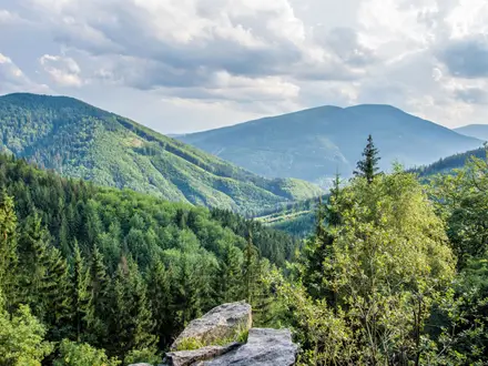
The Pietrosul Rodnei Summit Trail is a hard 15 km out-and-back day hike from Borșa in Maramureș, northern Romania, to Vârful Pietrosul Rodnei at 2,303 m. It suits fit, sure-footed hikers who want a full mountain day: about 1,300 m of ascent, forest lower down, open alpine meadow around Iezer Lake, then a steep rocky ridge to the highest summit in the Rodna Mountains and the Eastern Carpathians.
Route Overview
The standard route starts in Borșa, often from the Cabanele Petran parking area near the Borșa Tourist Complex / Borșa Pietroasa side, and follows the blue-stripe waymarking. It climbs through spruce and fir forest, reaches the Iezer weather station and plateau, then passes glacial Iezer Lake before the final rocky ridge to Vârful Pietrosul Rodnei. The hike returns by the same line, so it is best treated as an out-and-back rather than a traverse. Cascada Cailor is a separate Borșa-area excursion, not part of this summit route. For other Romanian mountain options, compare the Carpathian Ridge Trail or the Bucura Lake Circuit.
Protected landscape of Pietrosul Mare
Pietrosul Rodnei lies inside the Pietrosul Mare scientific Nature Reserve, established in 1932 and later incorporated into UNESCO’s Man and the Biosphere programme in 1979. The wider Rodna Mountains take their name from the old mining village of Rodna, also known as Rodna Veche. Wildlife protection is part of the area’s identity: the Carpathian chamois found here was declared a nature monument in 1933.
Notable highlights
- Vârful Pietrosul Rodnei (2,303 m): The summit is the high point of both the Rodna Mountains and the whole Eastern Carpathians, with wide views across glacial cirques and ridges.
- Iezer Lake: A glacial lake below the summit, well known in Romania because its shoreline resembles the outline of the country. It is the natural pause before the final climb.
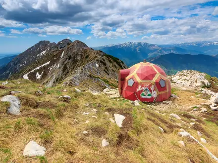
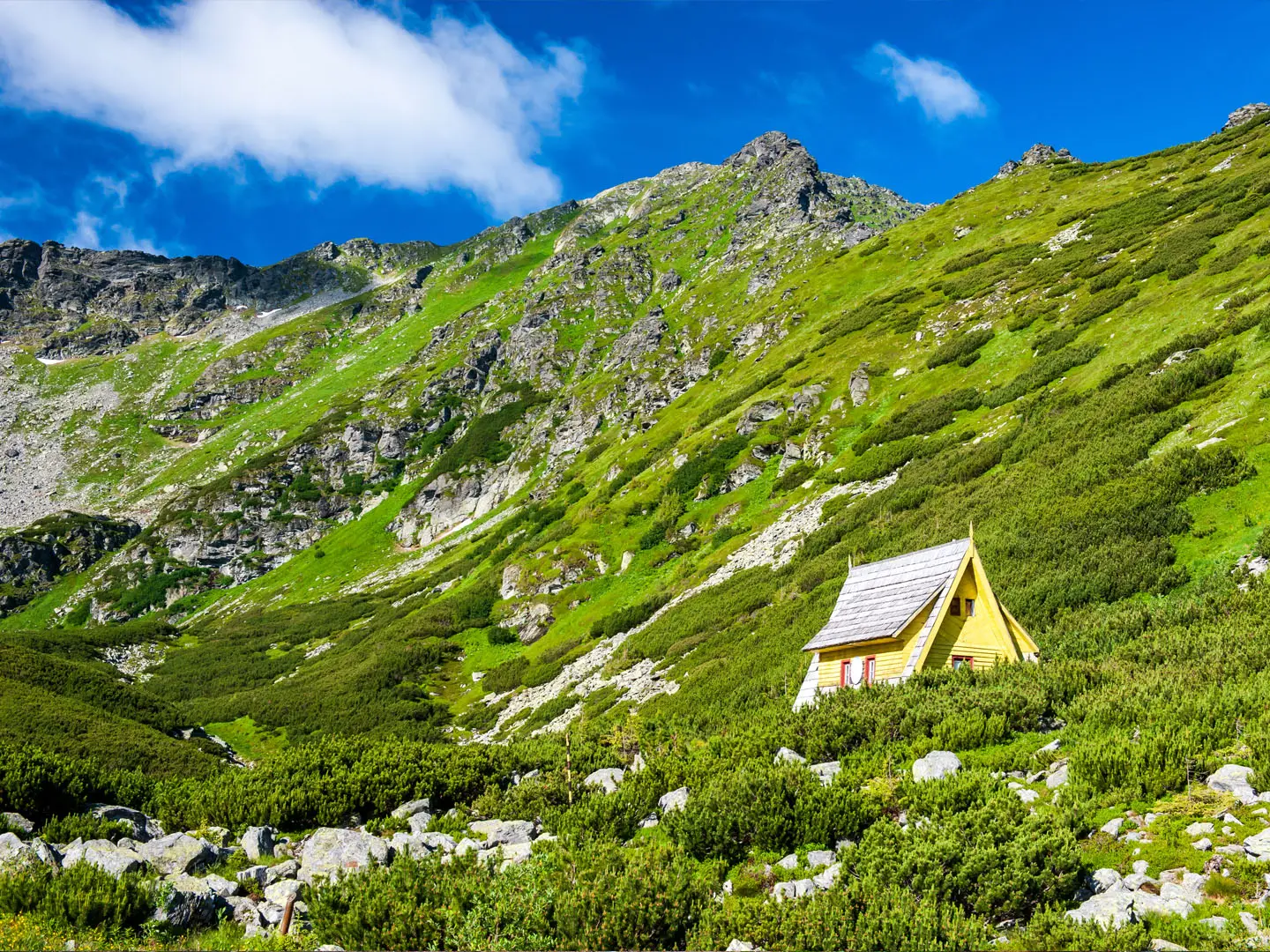
- Iezer weather station and plateau: The fenced meteorological station marks the transition from forest to open alpine terrain, with camping areas nearby.
- Buhăescu, Iezer and Zănoaga cirques: These glacial landforms shape the upper mountain and give the route its high, rugged character.
- Chamois and edelweiss: The reserve protects Carpathian chamois, marmots and rare alpine flora, including edelweiss on the high meadows.
Challenges to expect
Expect a sustained 1,300 m climb, a long descent on the same line and rough alpine ground near the top. The final ridge is steep, rocky and exposed, so sturdy footwear, sure-footedness and stable weather matter. Snow can linger late in the Rodna Mountains, and the Iezer Lake–summit section is effectively inaccessible in winter. There is no staffed refuge or resupply on the route.
HikeList Score
Pietrosul Rodnei Summit Trail scored 76/100 on HikeList's trail-quality metrics.
See score breakdownHide breakdown
- Ideal length 55
- Balanced challenge 74
- Scenery & wildness 78
- Varied terrain 94
- Accommodation 75
- Food & support 81
- Path quality 98
- Season flexibility 76
Computed from length, challenge, scenery & wildness, terrain variety, accommodation, food & support, path quality and season flexibility.
Show more data Show less
- Mountainous
- Forest
- Alpine Meadow
- Cirque
- Forest Trail
- Dirt
- Rocky
- Guesthouses
- Campsites
- Wild Camping Spots
- Pet Friendly
- Water Sources
- Campsites
- Shelters
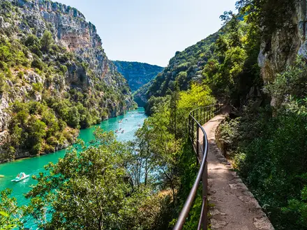
Photos from hikers
Taken on the trail by people who've reviewed Pietrosul Rodnei Summit Trail.
Reviews
How would you rate Pietrosul Rodnei Summit Trail?
Tap a star to start your review — you could be the first.