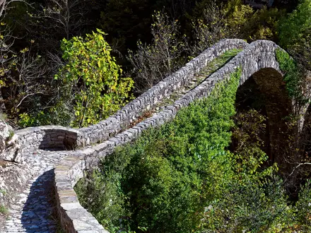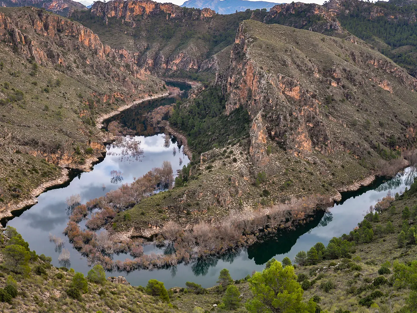
GR66 (Sierra del Segura)
How would you rate GR66 (Sierra del Segura)?
Tap a star to share your experience and help other hikers.
GR66 (Sierra del Segura): Castilla-La Mancha Traverse Guide
HikeList Score
GR66 (Sierra del Segura) scored 77/100 on HikeList's trail-quality metrics.
See score breakdownHide breakdown
- Ideal length 62
- Balanced challenge 80
- Scenery & wildness 71
- Varied terrain 87
- Accommodation 83
- Food & support 81
- Path quality 92
- Season flexibility 76
Computed from length, challenge, scenery & wildness, terrain variety, accommodation, food & support, path quality and season flexibility.
The GR-66, or Sendero Castellano-Manchego, is a demanding point-to-point long-distance path project across eastern Castilla-La Mancha in Spain, crossing Guadalajara, Cuenca and Albacete north to south. The full project is roughly 600–800 km depending on source, but only about 140 km in Cuenca province is officially homologated and signed. There is no reliable end-to-end day count; the complete project is described as about 37 stages, while the signed Cuenca section is usually a 3–4 day walk. It suits experienced hikers comfortable with remote terrain and navigation uncertainty.
Route Overview
The intended GR-66 runs from the Molina de Aragón area near the Aragon border to Nerpio in Albacete, where it links with the GR-7 on the southern flank of the Sierra del Segura. The marked and most usable section begins at Puente del Martinete over the Río Tajo near Peralejos de las Truchas, then heads through Alto Tajo and the Serranía de Cuenca via places such as Cueva del Hierro, Masegosa, Laguna de El Tobar, Tragacete, Las Majadas, Uña, Valdecabras, Buenache de la Sierra and Cuenca. Further south the project continues towards La Manchuela, Riópar, Vado de Tus, the Calar del Mundo and Nerpio. This is not a loop. Unlike more established Spanish routes such as the Camino Francés or the coastal Camí de Ronda, check current waymarking before committing.
History of the GR-66
The GR-66 was conceived as an eastern Castilian-Manchegan long-distance path linking Aragon with Andalusia and Murcia through Guadalajara, Cuenca and Albacete. In Guadalajara it is also known as the Sendero or Camino de la Hermandad, reflecting its overlap with the historic Hermandad route. Much of the GR-66 remains a project rather than a fully finished trail: only the Cuenca-province section has been formally homologated and signed, while older Guadalajara markings are faded and have been the subject of rehabilitation efforts.
Notable highlights
Cuenca and the Casas Colgadas: The GR-66 passes through the UNESCO World Heritage walled city of Cuenca. Its Casas Colgadas, medieval hanging houses above the Huécar gorge, make this the route’s clearest urban highlight.
Serranía de Cuenca and Alto Tajo: The best-waymarked stretch crosses the Alto Tajo canyon country and the Serranía de Cuenca. Expect limestone gorges, high woodland and karst features around Laguna de El Tobar, the Cuervo river source and the Torcas de los Palancares.
Parque Natural de los Calares del Mundo y de la Sima: Near the southern end, the route reaches high karst plateaux around the Calar del Mundo and Calar de la Sima. The Cueva de los Chorros, source of the Río Mundo, is a key natural feature in this sector.
Tragacete and the high páramos: Mountain villages such as Tragacete sit among pine forest, high moorland and exposed uplands. This is where the GR-66 feels most remote and sparsely populated.
Nerpio and the GR-7 link: The GR-66 finishes at Nerpio on the southern edge of the Sierra del Segura. From here it connects with the trans-European GR-7, giving onward options towards Andalusia.
Challenges to expect
The main difficulty is not just fitness, but reliability of the route. Only about 140 km in Cuenca is officially signed; elsewhere markings may be old, faded or absent. Expect steep climbs and descents, demanding limestone and karst terrain, sparse services between villages, hot dry exposed sections in summer, and cold or snow on high páramos and calares in winter. For a more defined Spanish mountain itinerary, compare the Alpujarras Trail.
HikeList Score
GR66 (Sierra del Segura) scored 77/100 on HikeList's trail-quality metrics.
See score breakdownHide breakdown
- Ideal length 62
- Balanced challenge 80
- Scenery & wildness 71
- Varied terrain 87
- Accommodation 83
- Food & support 81
- Path quality 92
- Season flexibility 76
Computed from length, challenge, scenery & wildness, terrain variety, accommodation, food & support, path quality and season flexibility.
 Spain
SpainShow more data Show less
- Mountainous
- High Moorland
- Limestone Canyons
- Karst
- River Gorges
- Forest
- Mountain Tracks
- Footpaths
- Hotels
- Guesthouses
- Campsites
- Family Friendly
- Pet Friendly
- Water Sources
- Campsites
- Picnic Areas
Photos from hikers
Taken on the trail by people who've reviewed GR66 (Sierra del Segura).
Reviews
How would you rate GR66 (Sierra del Segura)?
Tap a star to start your review — you could be the first.