Białowieża Forest Trails
How would you rate Białowieża Forest Trails?
Tap a star to share your experience and help other hikers.
Białowieża Forest Trails: Easy Forest Day Hiking in Podlaskie
HikeList Score
Białowieża Forest Trails scored 79/100 on HikeList's trail-quality metrics.
See score breakdownHide breakdown
- Ideal length 55
- Balanced challenge 50
- Scenery & wildness 98
- Varied terrain 71
- Accommodation 100
- Food & support 88
- Path quality 98
- Season flexibility 89
Computed from length, challenge, scenery & wildness, terrain variety, accommodation, food & support, path quality and season flexibility.
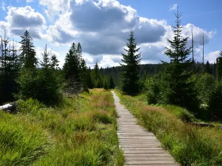
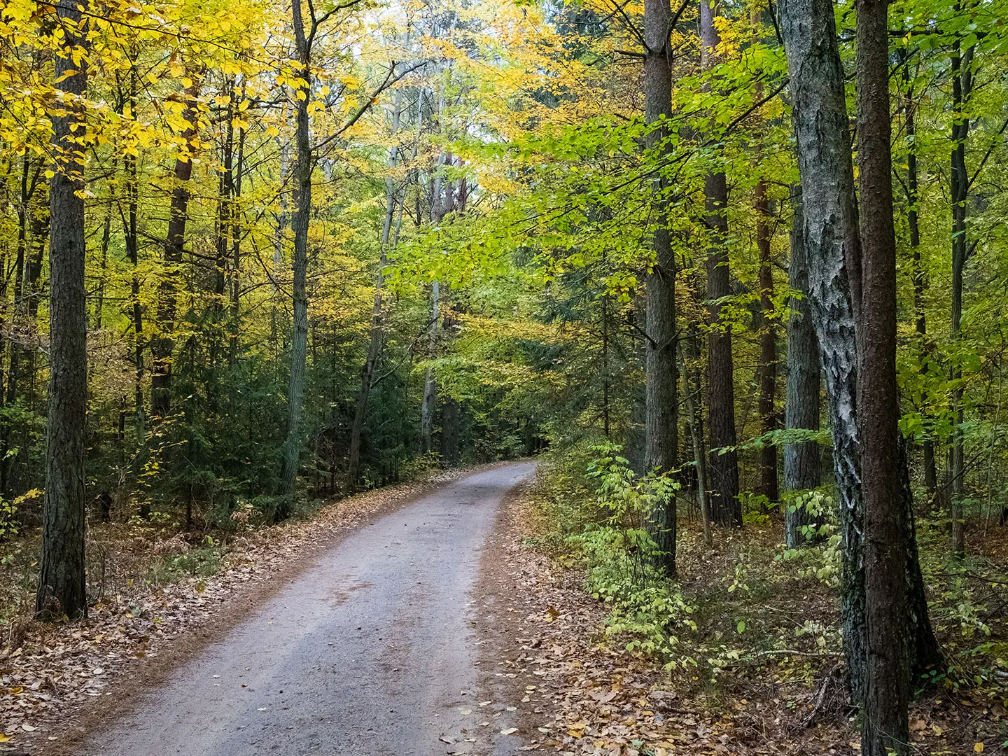
The Białowieża Forest Trails are a network of short waymarked nature trails, not a single thru-hike, in Białowieża National Park, Podlaskie Voivodeship, north-eastern Poland. Use 15 km as a representative full day linking several routes; the park has about 25 km of marked walking trails plus the guided Strict Protection Area. The walking is easy, flat lowland forest and wetlands on dirt, gravel and boardwalk, best for wildlife-focused day hikers based in Białowieża village.
Route Overview
Most walks start from Białowieża village, especially Palace Park, or from small car parks on the Narewkowska road towards Pogorzelce, Teremiski, Budy and the Masiewo/Kosy Most area. This is a trail network of loops, out-and-backs and short point-to-point nature paths. Useful named options include Żebra Żubra, Royal Oaks Trail, Wolf’s Trail, Tsar’s Trail, the National Memory Sites Trail and the guided-only Strict Protection Area. Distances vary from the short Royal Oaks boardwalk to the 11.5 km Wolf’s Trail, so build your day around conditions, tickets and guide availability. For other Polish lowland walking, compare Kampinos National Park Trail and Drawa National Park Trail.
Royal Forest, National Park and Bison Stronghold
Białowieża Forest is one of the last major remnants of the primeval lowland forest that once covered the European Plain. It survived largely because it was protected as a hunting ground for Polish kings and Lithuanian grand dukes from the 15th century, then for Russian tsars. Białowieża National Park was established on 11 August 1932, and the forest became a UNESCO World Heritage Site in 1979. European bison were hunted to extinction in the wild here around 1919, then reintroduced from captive animals from 1929.
Notable highlights
- European Bison Show Reserve (Rezerwat Pokazowy Żubrów): A ticketed reserve near Białowieża where visitors can reliably see European bison, plus tarpan-type horses, elk, deer and wolves. It is the simplest option if you want a close look at the forest’s emblematic species.
- Strict Protection Area (Rezerwat Ścisły): The guided-only old-growth core of Białowieża National Park. Entry requires a licensed guide and ticket, with routes of roughly 4 km or longer.
- Royal Oaks Trail (Szlak Dębów Królewskich): A short accessible boardwalk loop in Stara Białowieża past more than 20 named monumental oaks. It is ticketed and works well as a short add-on walk.
- Białowieża Palace Park (Park Pałacowy): The main village gateway, with old specimen trees, ponds and the site of the former Tsarist hunting palace. The National Memory Sites Trail passes through this historic parkland.
- Museum of Nature and Forest: The national park museum on the old palace grounds, with forest-habitat displays and an observation tower over the treetops.
- Żebra Żubra nature path: A boardwalk route through alder bog and Narewka wetlands, ending at the bison reserve. It is one of the most practical short nature walks for first-time visitors.
Challenges to expect
The walking is flat and mostly easy, but this is wet lowland forest: expect muddy sections, slippery boardwalks and mosquitoes or ticks in spring and summer. Navigation is by a network of short trails rather than one continuous route, so check which path you are following. The Strict Protection Area needs a licensed guide and ticket, and winter can be cold and snowy despite the low altitude.
HikeList Score
Białowieża Forest Trails scored 79/100 on HikeList's trail-quality metrics.
See score breakdownHide breakdown
- Ideal length 55
- Balanced challenge 50
- Scenery & wildness 98
- Varied terrain 71
- Accommodation 100
- Food & support 88
- Path quality 98
- Season flexibility 89
Computed from length, challenge, scenery & wildness, terrain variety, accommodation, food & support, path quality and season flexibility.
 Poland
Show more data Show less
- Forest
- Wetlands
- Dirt
- Gravel
- Boardwalk
- Hotels
- Lodges
- Hostels
- Campsites
- Family Friendly
- Pet Friendly
- Restrooms
- Water Sources
- Campsites
- Shelters
- Picnic Areas
In these collections
Photos from hikers
Taken on the trail by people who've reviewed Białowieża Forest Trails.
Reviews
How would you rate Białowieża Forest Trails?
Tap a star to start your review — you could be the first.