
Contents
Long-distance hiking has its own language, and half the intimidation disappears once you know what the words mean. This is a plain-English long-distance hiking glossary for the terms you will meet in guidebooks, route descriptions, forums and trail conversations.
You will find American thru-hiking culture here, such as zeros, neros, trail magic and NoBo or SoBo, alongside British and European walking vocabulary like waymarks, bothies, cols, trig points and GR routes. Learn these, and a dense route description starts to read like something written by an actual human.
Start here if you are new: learn thru-hike, NoBo and SoBo, zero day, waymark, col and base weight first. Those six crop up everywhere.
Trail types & hiking culture
Thru-hike: Walking an entire long-distance trail end to end in one continuous trip, in a single season. If you are dreaming of a full route rather than a few weekends, browse these epic thru-hikes for inspiration.
Section hike: Walking a long trail in separate chunks over months or years, rather than all at once. A section hiker may still complete the whole route, just across multiple trips.
Day hike: A walk completed within a single day, returning to your start point or transport. There is no overnight on the trail.
NoBo: Short for northbound, meaning you hike a trail from its southern end towards its northern end. On a famous trail, choosing NoBo can shape your seasons, weather and the crowds you meet.
SoBo: Short for southbound, meaning you hike a trail from its northern end towards its southern end. It is the mirror image of NoBo, but it can feel very different on the ground.
Flip-flop: A non-traditional thru-hike in two large sections divided near the halfway point. You hike one direction from the middle to a terminus, then return to the middle and hike the other way, often to dodge poor weather windows or crowds.
Yo-yo: Hiking an entire trail from one end to the other, then immediately turning around and hiking all the way back. In practice, it is two back-to-back thru-hikes.
Stage / etape: One day’s section of a long-distance walk, usually from one overnight stop to the next. Etape is the French term you will see across Europe, including in gite d’etape.
Slackpacking: Hiking a stretch of trail with only a light daypack while your main luggage is moved ahead for you. It is popular on supported European routes, and your back will understand the appeal immediately.
Zero day: A rest day with no trail miles walked at all. Most hikers use a zero for resupply, laundry, food and giving tired legs a chance to come back to life.
Nero day: A near-zero day with only a few miles walked, typically the short stretch into or out of a town. It is not quite a rest day, but it is not a full hiking day either.
LASH: A long-ass section hike. It is a section hike long enough to feel like a proper expedition, even though it is not the whole trail.
FKT: Fastest Known Time, the recognised speed record for a particular route. FKTs are self-organised rather than formal races, and are logged as unsupported, self-supported or supported depending on whether and how the runner received outside help.
Trail magic: Unexpected kindness shown to long-distance hikers. It might be food, drinks, a lift or a place to stay from strangers who simply want to help walkers on their way.
Trail angel: A person who provides trail magic. Trail angels offer hikers lifts, food, a shower or a bed, usually for nothing.
Waymarking & navigation
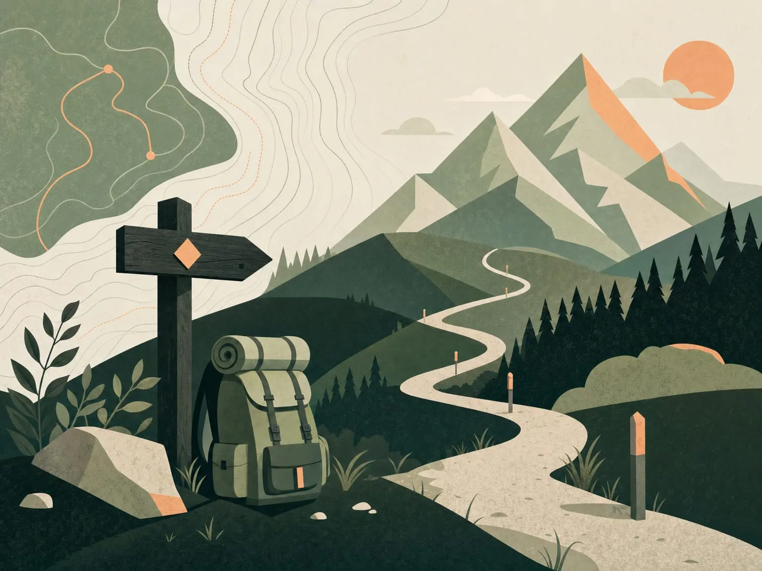
Waymark: Any marker that confirms you are on the right path and shows where it goes next. It might be a painted symbol, signpost, disc or arrow; a waymarked route can largely be followed by these signs.
Blaze: A painted mark, usually on a tree, rock or post, used to waymark a trail. The colour and shape identify the route; it is the American term for what Europeans more often call a waymark.
Cairn: A deliberate pile of stones used to mark a route, summit or junction. Cairns are invaluable above the treeline or in mist, where there may be nothing to paint a waymark on.
GR routes: Grande Randonnee routes are France’s and continental Europe’s network of long-distance footpaths, numbered GR5, GR20, GR10 and so on. These GR trails are waymarked with distinctive red-and-white painted stripes, and many of Europe’s classic long walks are GRs.
E-paths: European long-distance paths are twelve very long routes numbered E1 to E12. They are stitched together from existing national and regional trails, so on the ground you often follow a GR or national trail that the E-path borrows.
Contour line: A line on a map joining points of equal height. Lines close together mean steep ground; widely spaced lines mean gentler ground.
Contour interval: The fixed height difference between one contour line and the next on a given map. On British hill maps this is commonly 10 metres, and knowing it helps you read how much you will climb.
Col / saddle: The lowest point on a ridge between two summits. It is the natural place a path crosses from one valley to the next; saddle describes the same dip, shaped like a horse’s saddle.
Bealach: The Scottish Gaelic word for a pass or gap between hills, with bwlch as the Welsh equivalent. All cols are bealachs, but a bealach can be any low gap, not only one between two peaks; you will see the word often on Scottish Highlands trails.
Trig point: A small concrete triangulation pillar built by Ordnance Survey, usually near a British hilltop, and originally used to map the country by triangulation. Trig bagging means visiting and ticking them off, though a trig point is not always the exact summit.
Handrail: A navigation technique, not an object. You follow an obvious linear feature such as a wall, fence, stream or ridge to guide you, especially in poor visibility.
Aspect: The compass direction a slope faces. It matters for snow, sun and conditions, because a north-facing aspect holds snow and shade far longer than a south-facing one.
Bearing: The precise compass direction from where you are to where you want to go, measured in degrees. You take a bearing to walk an accurate line when you cannot see your target.
True north, grid north and magnetic north: True north points to the geographic pole, grid north is the direction the map’s vertical gridlines point, and magnetic north is where the compass needle points. The small angle between grid and magnetic north is why you adjust a map bearing before following it on the compass.
Terrain & natural features
Scree: A slope of loose, small, broken rock that slides underfoot. It is tiring and slow to climb, and sometimes fast, messy and bruising to descend.
Talus: A slope of larger loose rocks and boulders at the foot of a cliff or steep face. It is bigger and more stable underfoot than scree, but still slow going.
Tarn: A small mountain lake, typically sitting in a hollow scooped out by a long-gone glacier. The word is common in the Lake District and Scottish hills.
Moraine: Rock, gravel and debris bulldozed and left behind by a glacier. It often forms distinctive ridges or mounds in formerly glaciated valleys.
False summit: A high point that looks like the top from below but is not. The real summit reveals itself only once you reach it, and yes, big hills can have several in a row.
Exposure: How vulnerable you would be to a fall on a given stretch of path. A narrow ridge with steep drops is exposed even if the walking itself is technically easy; in mountain-safety contexts, exposure can also mean exposure to the elements, the early stage of hypothermia.
Scramble: Terrain steep enough that you need your hands as well as your feet to make progress. It sits between walking and rock climbing.
Scramble grades in the British system
| Grade | What it means |
|---|---|
| Grade 1 | The easiest scrambling: short rocky steps where you use your hands, with ropes not normally needed. Classic examples include Striding Edge on Helvellyn and the North Ridge of Tryfan. |
| Grade 2 | Harder scrambling with longer, steeper and more exposed rocky sections. A rope may be used to safeguard the trickiest moves. |
| Grade 3 | The hardest scrambling: sustained, exposed, with short sections of genuine rock climbing. Many parties use a rope, and the consequences of a fall are serious. |
| 3S | The S suffix means serious. Treat it as a warning that the route has added seriousness beyond the grade alone. |
Via ferrata: Italian for iron path, a protected mountain route equipped with fixed steel cables, iron rungs, ladders and pegs that you clip into with a harness. The Italian Dolomites have more via ferrata than anywhere on earth, many dating from the First World War, so the term comes up often when hiking in the Alps.
Switchback / zig-zag: A sharp hairpin bend where a path doubles back on itself. It lets a trail climb or descend a steep slope at a manageable gradient instead of going straight up.
Boardwalk: A raised timber walkway laid over boggy, fragile or waterlogged ground. It keeps your feet dry and protects the habitat beneath.
Stile: A step, ladder or gap built into a wall or fence. It lets walkers cross while keeping livestock in, and is a staple of the British countryside.
Kissing gate: A small gate in a U- or V-shaped enclosure that lets one walker through at a time while keeping animals from following. The gate kisses each side of the enclosure as it swings.
Bog: Permanently waterlogged, spongy ground, often on peat moorland. It is notoriously wet and energy-sapping.
Peat hag: An eroded section of peat bog where water has cut the peat into steep-sided banks and channels. It is awkward, ankle-twisting terrain, common on British uplands like the Pennines.
Measuring effort: distance, ascent & gradient
Elevation gain / ascent: The total height you climb on a walk. It is a far better measure of how hard a day will feel than distance alone; if you are unsure, this guide to how much elevation gain is hard is a useful next read.
Cumulative ascent / total ascent: The sum of every uphill section added together over a route. A rolling, up-and-down trail can rack up huge cumulative ascent even without one single big climb, which is why it is often the truest gauge of a long-distance route’s difficulty.
Gradient: The steepness of the ground, meaning how much height you gain over a given distance. For hill walks it is frequently expressed as metres of ascent per kilometre; the higher the figure, the steeper and harder the going.
Naismith’s rule: A classic rule of thumb for estimating walking time, devised by Scottish mountaineer William Naismith in 1892. Allow one hour for every 5 km, about 3 miles, of distance, plus an extra hour for every 600 m, about 2,000 ft, of ascent; then add time for bogs, scree, heavy packs, bad weather or a mixed-ability group.
Where you sleep: huts, bothies & camps
Bothy: A basic shelter in a remote area, usually left unlocked and free to use. Expect walls, a roof, a sleeping platform and perhaps a fireplace, with no booking and nothing laid on; bring everything and leave it as you found it.
Mountain hut: A manned, or sometimes unmanned, building high in the hills offering shelter, and usually a bunk and meals, to walkers and climbers. It is the umbrella term for the refuges, rifugi and refugios of Europe’s mountains.
Refuge / refugio / rifugio: A staffed mountain hut on or near a trail that provides a bed and usually hot meals, for a fee and normally by advance booking. Refuge is French, refugio is Spanish and rifugio is Italian; comfort ranges from spartan dormitory to almost hotel-like.
Albergue: A simple hostel for walkers, and the classic accommodation on Spain’s pilgrim routes such as the Camino de Santiago routes. Expect dormitory beds, low cost, sociable evenings and places often run for or by pilgrims; on the Camino, albergue and refugio are used fairly interchangeably.
Gite d’etape: A French walkers’ guesthouse along a long-distance route. It offers a bed, often in dorms or small rooms, and frequently an evening meal and breakfast.
Hut-to-hut: A style of multi-day trek where you walk between staffed mountain huts each day and sleep in them. These hut-to-hut treks let you carry a lighter pack rather than a tent and full camp kit, and are the signature way to walk the Alps and Dolomites.
Wild camping: Pitching a tent in open, undeveloped country away from official campsites. It is legal in some places, notably much of Scotland, and restricted or tolerated-but-not-permitted in many others, so check the local rules.
Cowboy camping: Sleeping out under the stars with no tent at all. You use a sleeping bag, and perhaps a mat and bivvy, directly under the sky; wonderful in dry, settled weather and a gamble otherwise.
Logistics & the route itself
Trailhead: The official start or end point of a trail. It is usually where the path meets a road, car park or transport, and where your walk begins.
Resupply: Restocking food and essentials partway through a long trip. On a long thru-hike, planning where you can reach a town or shop on or near the route is central to the whole plan.
Waymarked vs unwaymarked: A waymarked route can largely be followed by signs and painted markers on the ground. An unwaymarked route has few or none, so you navigate yourself with map, compass or GPS; knowing which you are on changes how much navigation the route really demands.
A quick word on kit
Base weight: The weight of your loaded pack not counting consumables. In other words, it is everything except food, water and fuel, which come and go, and it is the standard figure hikers use to compare how light they are travelling.
The big three: Your three heaviest items: shelter, sleeping system and backpack. They are where shedding weight makes the biggest difference to base weight, which is why hikers obsess over them.
Layering: Dressing in adjustable layers so you can stay comfortable as effort and weather change. The usual system is a wicking base layer, an insulating mid layer and a waterproof, windproof outer shell.
Gaiters: Protective sleeves worn over the lower leg and boot top. They keep mud, water, snow, scree and grit out of your footwear, and they earn their place on wet, boggy British hills.
Trekking poles: Paired walking poles that improve balance and take strain off the knees, especially on descents and under a heavy pack. Most fold or telescope away when not needed.
The jargon fades fast once you are walking. Learn the words that help you make good decisions, ask better questions and read a route description clearly; after that, the important bit is still simple enough: put one foot in front of the other, look after yourself, and keep going.
Frequently asked questions
What does NoBo and SoBo mean in hiking?
NoBo means northbound: hiking a trail from its southern end towards its northern end. SoBo means southbound: hiking from the northern end towards the southern end.
What is a zero day?
A zero day is a rest day with no trail miles walked at all. Hikers usually use it to resupply, do laundry, eat properly and recover.
What is a bothy?
A bothy is a basic remote shelter, usually unlocked and free to use. You should expect little more than shelter, bring everything you need, and leave it as you found it.
What is Naismith’s rule?
Naismith’s rule estimates walking time as one hour for every 5 km of distance, plus one extra hour for every 600 m of ascent. It assumes a reasonably fit walker on decent ground in good conditions.